Story by Tracy Robillard, USDA Oregon Public Affairs Officer
Originally published January 2019 by NRCS Oregon
“By leveraging remote sensing technologies to perform compliance reviews, we have achieved tremendous time savings for NRCS staff and cost savings for the agency,”
Jay Gibbs, Basin Team Leader for the John Day/Umatilla and Snake River Basins.
“The real savings is the value in freeing up our staff time, so they can work on other things that add more value to our conservation program delivery instead of spending 4 to 6 weeks conducting compliance reviews.”
When farmers and ranchers choose to work with the USDA Natural Resources Conservation Service (NRCS) to perform voluntary conservation activities on their land, one of the requirements for eligibility is the land must comply with Highly Erodible Lands (HEL) guidelines.
These guidelines, originally set forth in the 1985 Farm Bill, are intended to protect lands that are susceptible to high amounts of erosion caused by wind, rain, and other factors.
Typically, NRCS staff ensure HEL compliance annually on randomly selected farms by walking through crop fields and inspecting the land. However, in the vast, open, and very remote stretches of Eastern Oregon, this is not an easy feat. The entire process can take anywhere from four to six weeks of staff time and requires overnight travel for multiple days.

The UAV Solution
Thanks to innovative partnerships at NRCS Oregon, employees and partners have developed a solution that saves time and money, while strategically focusing on the part of Oregon that experiences the most HEL reviews.
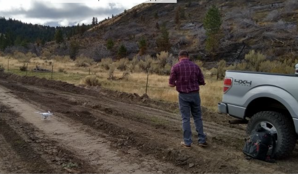
This new approach uses Unmanned Aerial Vehicles, commonly referred to as UAVs or drones, to gather high-resolution photographs remotely. NRCS staff review the pictures from their office computers to determine compliance.
The new UAV solution requires only 12 to 16 hours for staff to complete a review—a process that used to take up to six weeks to accomplish.
The photos are taken at randomly placed photo points on the field according to NRCS sampling protocols and using GPS coordinates. With GPS, the drone can return exactly to the same photo point to take subsequent photos in the future and more accurately determine visual trends.
It’s important to note that any instances of non-compliance would have to be determined in the field and would require a manual inspection. But most of the time, the UAV images are clear enough that staff can accurately determine compliance.
Partnerships Make it Happen
The UAV is owned and operated by the Columbia Basin Aerial Sensing Survey (CBASS), which is a partnership of Gilliam and Morrow Soil and Water Conservation Districts. NRCS Oregon entered into an agreement with this group to provide high-quality aerial imagery that meets NRCS sampling protocols for HEL compliance reviews.
The agreement with CBASS was signed in September of 2018, and shortly after that they began taking photos at monitoring points in Morrow, Gilliam, Sherman, and Wasco counties. The speed of photo collection was quite astounding. CBASS ran a 2-mile flight in merely 5 minutes. The drone can cover 30 miles an hour, taking 10 sampling photos in 5 minutes.
During the five-year agreement period, additional counties will undergo remote sensing.
Focus on Wheat Country
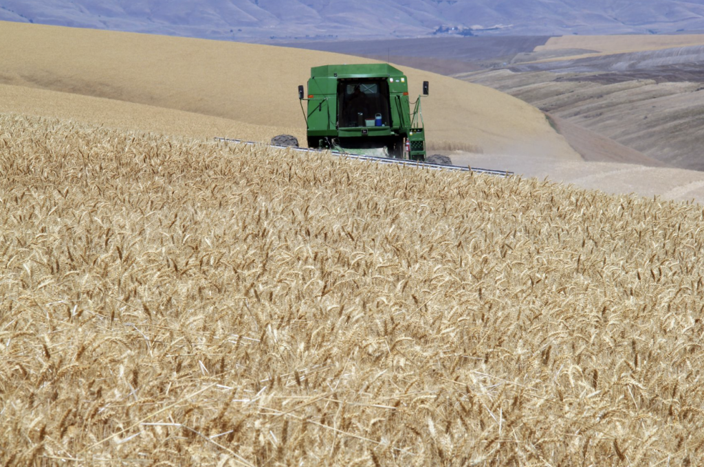
The agreement covers annual HEL compliance reviews for seven counties in Oregon’s wheat belt, an area stretching along the Columbia River Plateau that contains most of the highly erodible lands in Oregon.
This region represents between 85 and 90 percent of HEL acres and compliance reviews done annually in Oregon. This is mostly due to the geography of the area—rolling hills and open plateaus that get pounded with wind and rain most of the year. NRCS Oregon’s goal was to achieve 85 percent of the state’s compliance reviews with one agreement.

Customer Service
Of course, landowner privacy is an important factor to consider when operating the UAVs, which NRCS and its partners take very seriously.
“UAVs are much more prevalent on the landscape today, so a lot of producers who work with us are drone curious,” Gibbs said. “We make sure to check with the growers and give them the option to opt out of remote sensing, though so far they have been accepting of the technology and want to have access to some of the photos for their own use.”
For example, CBASS staff will often take an aerial photo of the farm or ranch headquarters at the request of the producer and provide it to them as a keepsake image. It’s not a required function of the NRCS agreement, but it provides an extra touch of customer service without much extra effort.
What’s Next?
With the first year of monitoring taking place throughout 2019, NRCS is tracking progress and looking for ways to fine-tune the process. There also may be applications for remote sensing in other areas of NRCS’s conservation program portfolio—for example, using drones to do video monitoring on wetland easement sites that have been restored and require monitoring.
At the end of the day, it’s a win-win for NRCS employees, for the partners at CBASS, and for the farmers and ranchers we all serve.
