By Robert Hathorne, Public Affairs Specialist, USDA
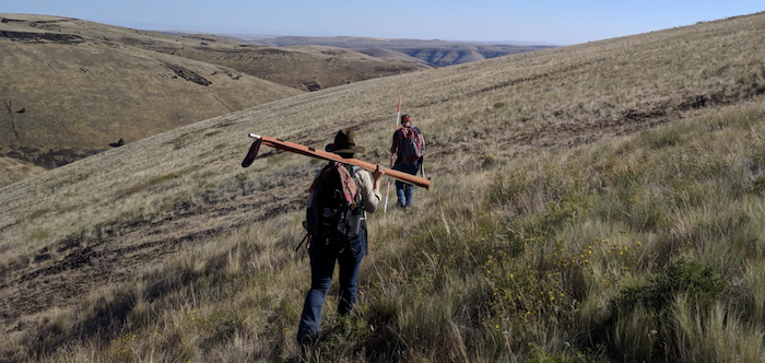
It’s a long drive down a bumpy road to the first monitoring site. A caravan of pickups sweeps through canyon passes and up steep slopes you wouldn’t believe they could climb were it not for the plumes of dust they leave as proof.
This Conservation Academy is about two things: giving Pathways Interns hands-on experience with various natural resource inventory techniques, and assisting Gilliam SWCD with a very big conservation project. Also, sweat, sore feet, and sunburns.

This fall, Gilliam SWCD, Gilliam-East John Day Watershed Council, the Warm Springs Tribe, and NRCS plan to conduct prescribed burns on over 8,000 acres to combat juniper infestation on rangeland. The interns were there to provide something NRCS and partners often sorely need—monitoring and pretreatment data.
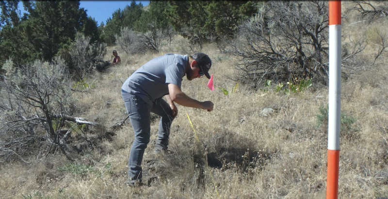
Course instructors selected 20 random GPS locations within the future burn area. The task to interns was to reach those locations and establish monitoring sites. An assignment that required rugged hikes while hauling a boat-load of equipment.

Teams collected data from each site including photos, bunchgrass density, tree height and age, and line point intercept. Plant identification and calculating the severity of juniper infestation were major components of the work. Monitoring groups were led by Aaron Roth, Jenni Moffitt, and Christina Santana of NRCS, and Herb Winters and Roger Lathrop of Gilliam SWCD.
In total, the teams established 14 monitoring sites in two days. After the area is burned, the monitoring locations can be revisited over the years to document change and determine future management options.
Thanks to our course instructors!
